
Landslides are a significant and hazardous natural disaster, often leading to substantial losses in economic resources, environmental integrity, and human lives. To effectively mitigate the impact of such events, landslide susceptibility maps serve as valuable tools for assessing zones with varying probabilities of occurrence and identifying their causative factors.
Globally, approximately 4.8 billion individuals are affected by landslides, which result in an estimated loss of around 8 billion dollars annually. In underdeveloped and developing nations, the damages caused by landslides can account for about 0.05% of the gross national income each year. According to the Geological Survey of India (GSI), approximately 420,000 km2 of land, equivalent to 12.6% of India’s total geographical area, is susceptible to landslides.
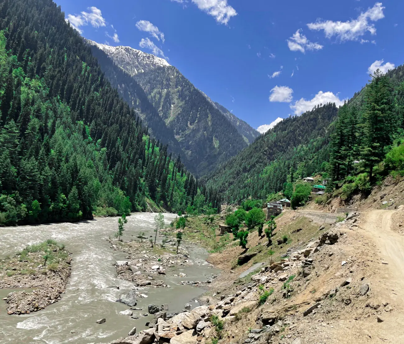
The Sikkim–Darjeeling Himalayas region is particularly vulnerable to landslides, accounting for 43% of India’s total landslide occurrence zones. Rainfall-induced landslides are quite common in Sikkim, and the region is also susceptible to earthquake-induced slope failures and slope alterations due to road construction activities.
Previous studies have focused on landslide zonation utilizing various techniques, including frequency ratio analysis, logistic regression, evidence belief function, and linear discriminant analysis. With advancements in machine learning methodologies, researchers have developed several hybrid models that combine these techniques, such as Adaptive Neuro-Fuzzy Inference System (ANFIS) with frequency ratio, Chi-squared Automatic Interaction Detection (CHAID) integrated with the Analytic Hierarchy
Process (AHP), and hybrid models like LR-FR and LR-SVM. Research indicates that these hybrid models demonstrate greater accuracy and stability compared to traditional statistical methods and standalone machine learning approaches.
A study conducted by Indrajit Chowdhuri and colleagues from the Department of Geography at The University of Burdwan, West Bengal, India, focuses on the landslide zonation of the Upper Rangit River basin in the Sikkim Himalayan region. This research employs ensemble machine learning techniques, including Random Forest, Evidence Belief Function (EBF), Geographically Weighted Regression (GWR), as well as hybrid methods such as RF-EBF and RF-GWR. The Upper Rangit basin, located in the western part of Sikkim, encompasses an area of 975.248 km². The Rangit River originates from the Rathong Glacier in West Sikkim and converges with the Teesta River near the Sikkim-West Bengal border. The region’s elevation ranges from 519 to 7,307 meters above mean sea level, with an average annual rainfall
of 2,088.45 mm.

(Source:https://doi.org/10.1007/s12665-020-09227-5)
The study utilizes a dataset comprising 102 landslide instances alongside 16 conditioning factors, which
include slope angle, slope aspect, elevation, profile curvature, plan curvature, rainfall, drainage density, distance to river, topographic wetness index (TWI), stream power index (SPI), soil characteristics, lithology, structural buffer, land use and land cover (LULC), normalized difference vegetation index (NDVI), and road density. To ensure a balanced database, 71 non-landslide data points were randomly generated within a GIS environment. The complete dataset was subsequently divided into 70% for training and 30% for testing, allowing for comprehensive analysis.
Before proceeding with the analysis, a multi-collinearity assessment was conducted to mitigate any potential bias in the landslide susceptibility models. The analysis of the 16 contributing factors revealed that the tolerance and variance inflation factor (VIF) values were both greater than 1.0 but below 10, indicating that no multi-collinearity issues exist among these factors. Furthermore, to identify the most influential factor, we employed metrics such as average merit (AM), mean decrease accuracy (MDA), and mean decrease Gini (MDG) using the Random Forest (RF) technique. The findings indicate that land use and land cover (LULC) exhibited the highest predictive capability, followed by distance to river, soil characteristics, drainage density, road density, topographic wetness index (TWI), slope, stream power index (SPI), elevation aspect, plan curvature, rainfall, lithology, profile curvature, normalized difference vegetation index (NDVI), and structural buffer.
The models were developed and assessed utilizing the Receiver Operating Characteristic (ROC) curve. The results indicate that the Random Forest-Evident Belief Function (RF-EBF) outperformed the other models, achieving an Area Under the Curve (AUC) of 94.30%. This was followed by Random Forest with Geographically Weighted Regression (RF-GWR), which attained an AUC of 89.90%, and the other models recorded the following AUCs: RF (AUC at 87.60%, Evident Belief Function (EBF) at 85.70%, and Geographically Weighted Regression (GWR) at 82.20%. Further, the area distribution for RF-EBF was categorized as follows: very low (2.258%), low (2.499%), moderate (13.691%), high (39.842%), and very high (41.707%). The integrated landslide susceptibility models demonstrate a robust capacity for hazard management and planning within the Upper Rangit catchment and similar regions. Furthermore,
the resulting landslide susceptibility maps can be effectively utilized for land use management and the promotion of sustainable development initiatives.


Reference
Chowdhuri, I., Pal, S.C., Arabameri, A. et al. Ensemble approach to develop landslide susceptibility map in landslide dominated Sikkim Himalayan region, India. Environ Earth Sci 79, 476 (2020). https://doi.org/10.1007/s12665-020-09227-5