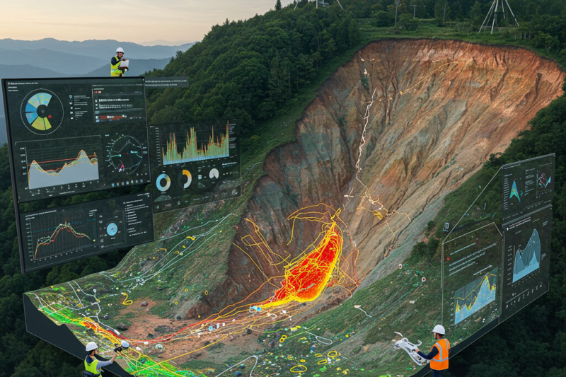
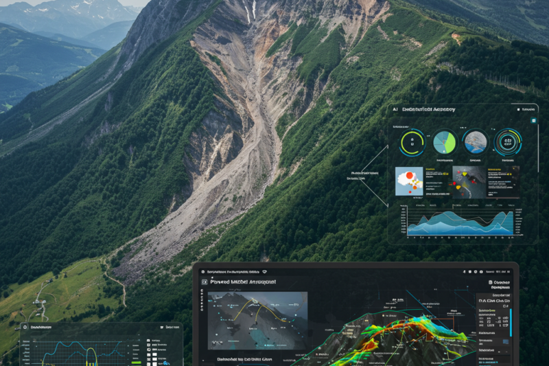
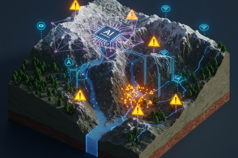
How Big Data and Machine Learning Are Saving Lives and Mapping India’s Landslide RiskMarch 1, 2026February 11, 2026
Understanding Pile Settlement Prediction Using Neuro-Swarm IntelligenceDecember 5, 2025March 25, 2025
Smarter Ground Improvement: How AI and Geostatistics are Revolutionizing Soil Compaction ProjectsNovember 25, 2025March 18, 2025
How FR-BCT Hybrid Model integrated with GIS helps in Mapping Groundwater PotentialNovember 5, 2025March 14, 2025
Revolutionary Rock Identification: How AI is Transforming Geological Analysis Through Image FusionAugust 15, 2025March 6, 2025
Machine Learning for Predicting the Consolidation Characteristics of Soft SoilJune 18, 2025February 20, 2025
Landslide Prediction and Mapping Using Geospatial and Neural Networks: A Game-Changer in Disaster ManagementJune 12, 2025February 14, 2025
Researchers at MANIT Bhopal conducted Landslide Risk Mapping in Sikkim using Geospatial and Machine Learning TechniquesMay 16, 2025February 12, 2025
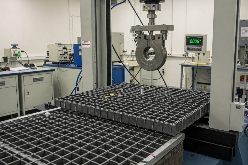
Predicting Geogrid Pullout Resistance: How Machine Learning is Revolutionizing Geotechnical EngineeringApril 15, 2025
How Pukyong National University Scientists are Improving Landslide ForecastingApril 14, 2025February 8, 2025
How AI is Transforming Seismic Data Analysis for Carbonate Reef ExplorationMarch 30, 2025February 6, 2025